Climate change captured by Davide Monteleone
Davide Monteleone (1974) is a photographer, researcher, and National Geographic Fellow whose work spans image-making, visual journalism, writing, and other disciplines. Reoccurring themes include geopolitics, geography, identity, data, and technology.
A regular contributor to magazines such as Time, National Geographic, and The New Yorker, Davide Monteleone’s work has been presented in the form of exhibitions and installations in galleries and museums, including at the Saatchi Gallery in London the Nobel Peace Center in Oslo the MEP in Paris, Palazzo delle Esposizioni in Rome and other venues.
A selection of Monteleone’s accolades includes The National Geographic Fellowship (2019), the Asia Society Fellowship (2016), the Carmignac Photojournalism Award (2013), the EPEA Award (2012), the European Publisher Award (2011), and several World Press Photo.
Holding a Master in Art and Politics from the Goldsmiths University in London, Monteleone is interested in the theoretical role and the use of technical images in society and is active as a curator and educator for numerous public and private institutions.
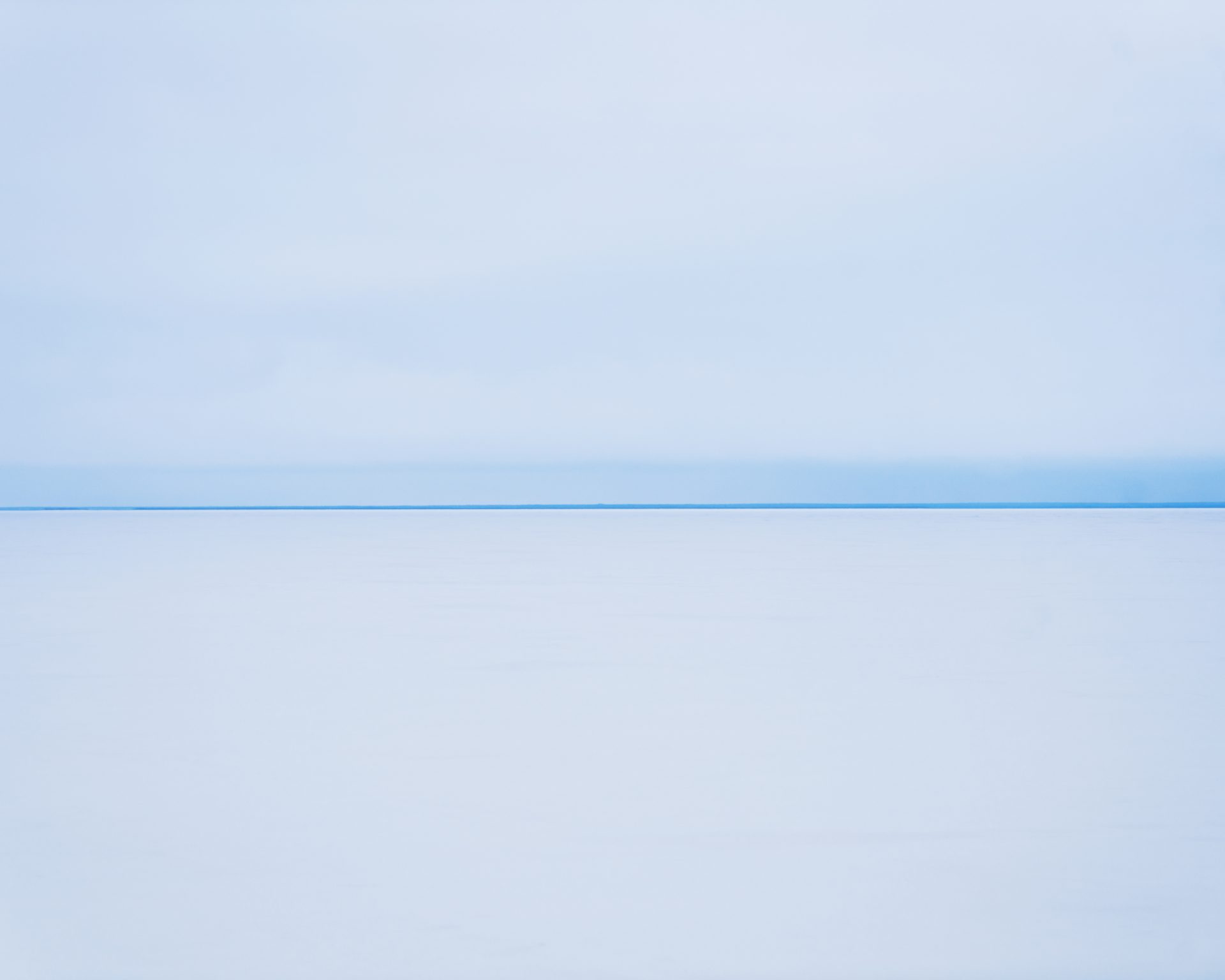
River Ob, 2017

Yamal, Russia, 2017. Landscape on the Ob river. This area is home to the Nenets, a community of nomadic herders living and working in the remote Russian Tundra. Nenetsʼ lifestyle and survival are seriously threatened by climate change, since the melting of permafrost is changing the morphology of this territory and upsetting an already fragile ecosystem.
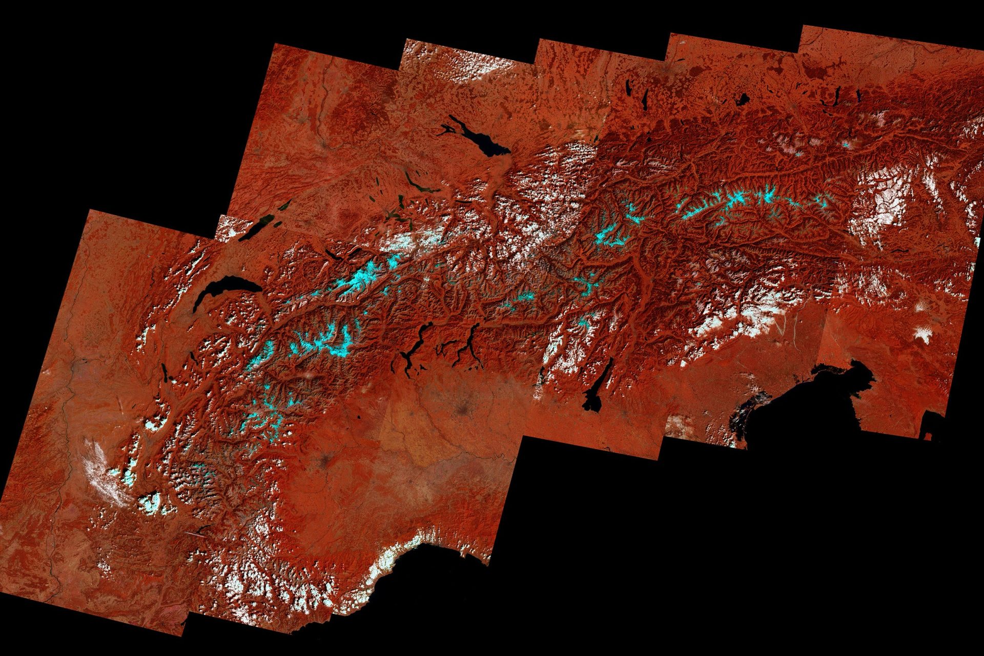
Alps 1991, 2021

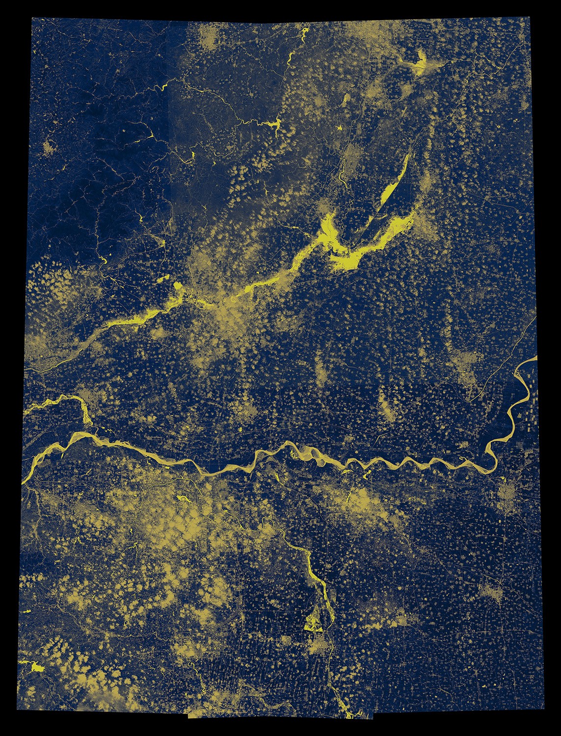
Henan #003, 2021

These images are part of a multi-layered project that brings together elaborate visual approaches to deliver a scientific and yet understandable narrative of the cause-effect processes of climate change. Past studies have found that there is an essential gap between public and expert perceptions of climate change risk. That is primarily motivated by the difficulty of framing climate change within the humanʼs time perception or spatial experience.
The project aims to bridge this gap by visually “compressing” the timeframe of climate phenomena in a more readable narrative.
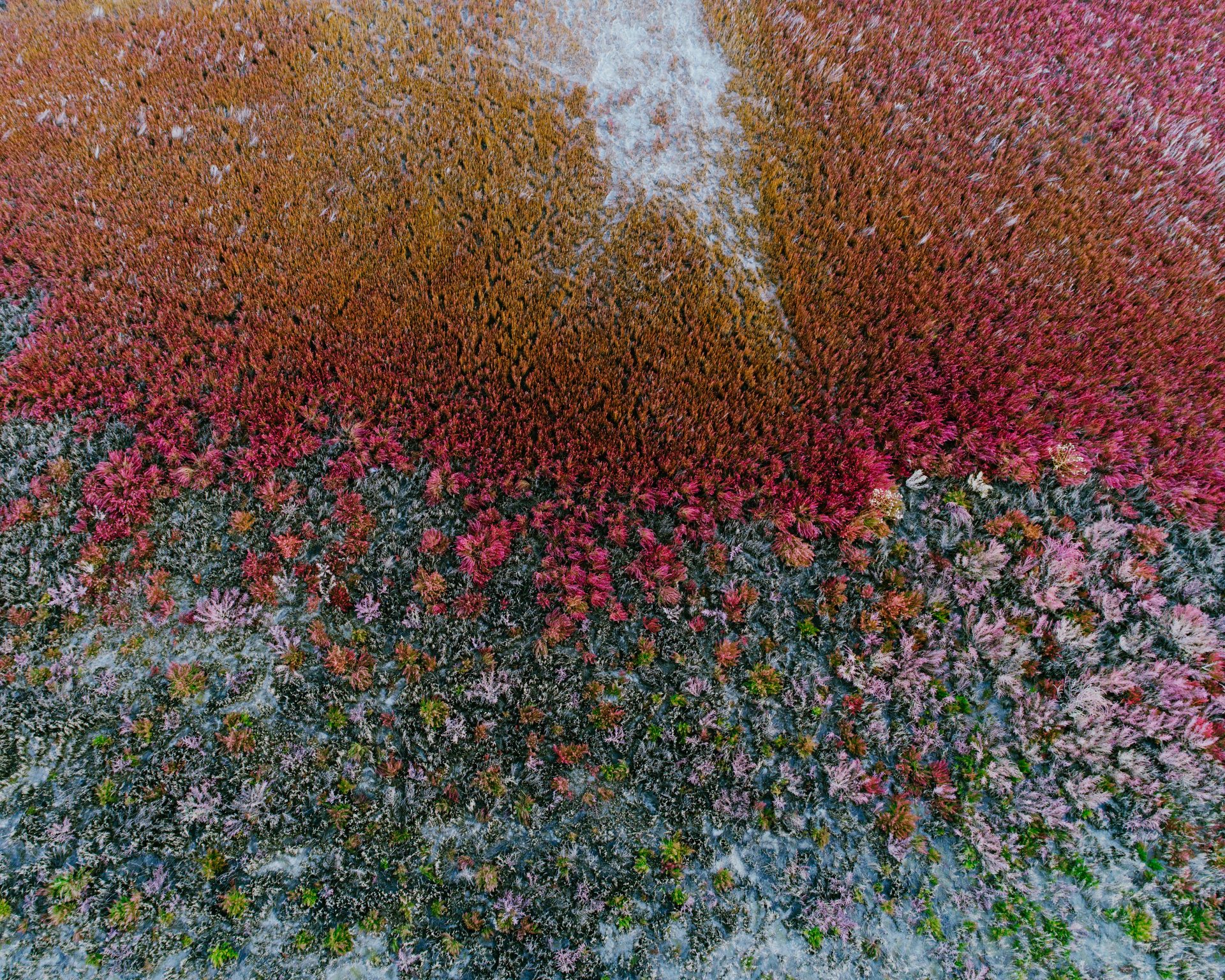
Aralsk #2, 2017

Aralsk, Kazakhstan, 2017. The disappearance of the Aral Sea began in 1960, when the Soviet Union diverted the rivers flowing into the sea for the purposes of irrigation in order to grow mostly cotton, but also cereals, melons, and rice. Once a vibrant port city, the town completely lost its access to the sea 25 years ago. Whereas the waterfront used to be about 62 miles away from the shore of Aral, it is now only 16 miles away.
This image is part of a wider data-driven visual investigation, “Sinomocene”, that takes its cue from the documentation of the Chinese initiative known as “Belt and Road””, focusing on the social and environmental impact of large movements of money capital linked to geopolitical strategies.
